
Mount Ray Trailhead Introduce
Utah, with its dramatic landscapes ranging from red rock deserts to towering alpine peaks, offers an incredible playground for outdoor enthusiasts. For those of us living in the Beehive State, the Wasatch Mountains stand as a majestic backdrop, providing countless opportunities for exploration and adventure right in our backyard. Among the myriad of trails that wind through these magnificent mountains, the Mount Ray Trailhead (often referred to in relation to Mount Raymond) serves as a gateway to some truly challenging and rewarding experiences.
While not a traditional campground with developed sites, the Mount Ray Trailhead is a crucial access point for a rugged backcountry experience, primarily focused on hiking and, for the prepared, dispersed camping. This area is known for its strenuous climbs, stunning panoramic views, and a profound sense of wilderness immersion. It's a destination for those seeking to push their limits and truly connect with the raw beauty of the Utah mountains. This article will guide you through what to expect when embarking on an adventure from the Mount Ray Trailhead, focusing on its location and accessibility, the type of experience it offers, its breathtaking features, and why it's a suitable challenge for experienced local users.
The Mount Ray Trailhead, when associated with the prominent Mount Raymond (10,241 feet), is located in the Uinta-Wasatch-Cache National Forest. While the provided address is "Orem, UT, USA," it's important for local users to understand that Mount Raymond and its common trailheads are actually closer to Salt Lake City, specifically accessed via Big Cottonwood Canyon or Millcreek Canyon, rather than directly from Orem. The most common trailhead for Mount Raymond is the Butler Fork Trailhead, located approximately 8.2 miles up Big Cottonwood Canyon Road. There are also routes from Millcreek Canyon (via Bowman Fork Trailhead) and another from lower Big Cottonwood Canyon (Mill B North Trailhead).
Accessibility to these trailheads depends on the canyon road conditions. Big Cottonwood Canyon Road (UT-190) is generally open year-round, though traction laws and winter driving conditions apply. Millcreek Canyon requires a fee or pass for vehicle entry. From Orem, reaching these trailheads involves driving north on I-15 towards Salt Lake City, then heading east into the respective canyons. The drive from Orem to the Butler Fork Trailhead, for instance, can take approximately 45 minutes to an hour. Parking is typically available at these designated trailheads. Given the nature of this "campground" as a trailhead for backcountry access, visitors should be aware that the journey to the true camping/hiking experience begins after a significant ascent from the trailhead itself. This location offers a remote mountain experience, ensuring a true escape from urban hustle.
As Mount Ray Trailhead is primarily an access point for backcountry and wilderness hiking, it does not offer the typical services found at developed campgrounds. Instead, it provides the fundamental necessities for a self-sufficient wilderness experience.
- Trailhead Access: The primary service is providing a designated starting point for the strenuous hike up Mount Raymond and other connecting trails in the Mount Olympus Wilderness Area.
- Parking: Designated parking areas are available at the Butler Fork Trailhead and other access points, though these can fill up quickly during peak hiking seasons.
- Informational Signage: Trailhead signs typically provide maps, regulations, and safety information relevant to the Mount Olympus Wilderness and surrounding forest land.
- Backcountry Camping (Dispersed): While not a developed campground, backcountry camping is permitted in Big Cottonwood Canyon on Forest Service property, with specific regulations. Campers must be at least 0.5 miles off any road and 200 feet from any trails, water sources, or developed areas. This means bringing all your own gear, water, and packing out all trash and waste, including human waste following Leave No Trace principles.
- No Developed Facilities: There are no restrooms, potable water sources, picnic tables, fire rings, or garbage services at the trailhead itself or along the Mount Raymond trail. Hikers and campers must be entirely self-sufficient.
- Winter Use: In winter, the area becomes a popular backcountry skiing destination, but it requires advanced avalanche safety knowledge and equipment, as the terrain is prone to avalanche conditions.
The Mount Ray Trailhead (leading to Mount Raymond) offers several compelling features and highlights for the experienced outdoorsperson, providing a rugged and rewarding adventure in the heart of the Wasatch Mountains.
- Strenuous but Rewarding Hike: The hike to Mount Raymond is consistently rated as strenuous, with significant elevation gain (over 3,000 feet) and mileage (around 7.8 miles round trip from Butler Fork). However, the effort is highly rewarded with breathtaking views.
- Panoramic Summit Views: From the 10,241-foot summit of Mount Raymond, hikers are treated to incredible 360-degree views of Big Cottonwood Canyon, Mill Creek Canyon, and the Salt Lake Valley. Iconic peaks like Twin Peaks and Sundial Peak are visible, offering fantastic photo opportunities.
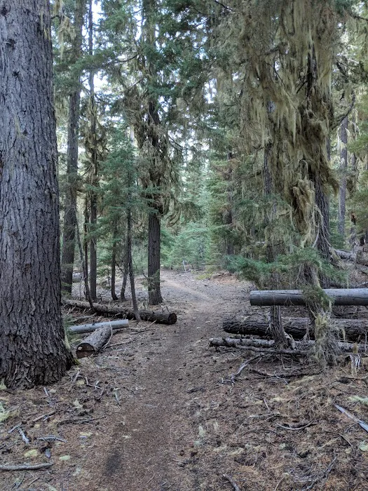
- Diverse Landscapes: The trail traverses a variety of ecosystems, starting alongside a stream through lush evergreen and aspen forests, opening up to expansive views, and culminating in an above-treeline ascent along a rocky ridge. The aspen groves are particularly beautiful, especially in the fall.
- Class 3 Scrambling: Near the summit, the trail involves a Class 3 scramble over crumbly limestone and quartzite. This section requires careful handholds and can be challenging for those uncomfortable with heights, adding an adventurous element to the hike.
- Wilderness Immersion: Entering the Mount Olympus Wilderness Area early in the hike, visitors gain a true sense of being in a wild, undeveloped environment, away from the crowds of more accessible trails.
- Alpine Wildflowers: During late spring and early summer, the trail is often carpeted with wildflowers, adding vibrant color to the landscape.
- Backcountry Skiing Destination: In winter, Mount Raymond is a popular destination for experienced backcountry skiers, offering challenging lines and powder turns (with strict adherence to avalanche safety protocols).
- Sense of Accomplishment: Reaching the summit of Mount Raymond is a significant achievement for hikers, often celebrated by signing a hiker's log at the peak.
Given that "Mount Ray Trailhead" in Orem, UT refers to an access point for wilderness recreation rather than a traditional campground, direct contact information for the "campground" itself is not applicable. Instead, inquiries about hiking conditions, wilderness regulations, and dispersed camping guidelines should be directed to the managing authority.
Managing Authority: Uinta-Wasatch-Cache National Forest, Salt Lake Ranger District
Phone: (801) 943-1794
Address: The general administrative address for the Salt Lake Ranger District is often listed in Salt Lake City, UT, as it oversees the Big Cottonwood Canyon area. For the physical trailhead, use navigation to the Butler Fork Trailhead in Big Cottonwood Canyon.
It is crucial for anyone planning a trip to Mount Ray Trailhead or Mount Raymond to consult the Uinta-Wasatch-Cache National Forest's official website or call the Salt Lake Ranger District for the most current information on trail conditions, potential closures, fire restrictions, avalanche forecasts (in winter), and detailed backcountry camping regulations. This ensures a safe and responsible wilderness experience.
For Utah locals, the Mount Ray Trailhead offers an unparalleled opportunity to engage with the stunning and challenging terrain of the Wasatch Mountains. While it's not a typical "campground" with amenities, its true value lies in providing access to a profound wilderness experience, perfect for those seeking to push their physical limits and immerse themselves in nature. The proximity to the populated Wasatch Front, despite the strenuous nature of the hike, means that a truly wild and high-alpine adventure is just a relatively short drive away from Orem and other Utah Valley communities.
Experienced hikers will appreciate the demanding ascent to Mount Raymond, which culminates in some of the most spectacular panoramic views in the region, including sweeping vistas of Big Cottonwood Canyon and the Salt Lake Valley. The unique Class 3 scrambling near the summit adds an exciting challenge, making the accomplishment even more rewarding. For those who embrace Leave No Trace principles, the option for dispersed backcountry camping provides a secluded and intimate connection with the mountain environment, far from the crowds of developed campgrounds. While it requires self-sufficiency and preparation, this aspect appeals to Utahns who value true wilderness and solitude. For outdoor enthusiasts in Utah seeking a significant and memorable high-elevation adventure that showcases the rugged beauty of our local mountains, the Mount Ray Trailhead is an essential and rewarding destination that truly embodies the spirit of the Wasatch.
Alternative Option
Mount Ray Trailhead Details
Activities
- Hiking
Children
- Good for kids
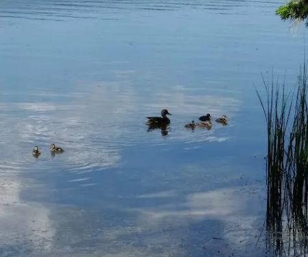
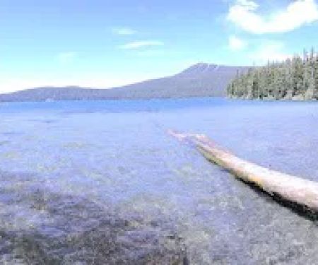
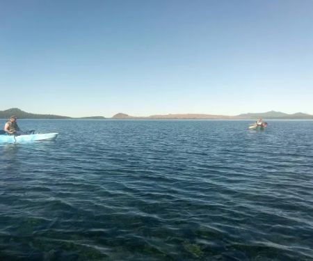
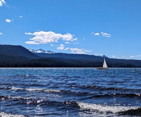
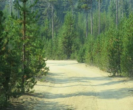
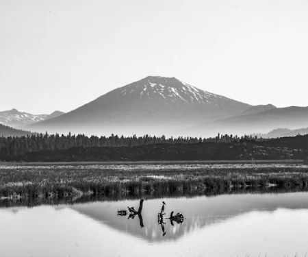
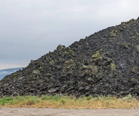
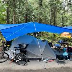
Mount Ray Trailhead Photos
Mount Ray Trailhead Location
Mount Ray Trailhead Reviews
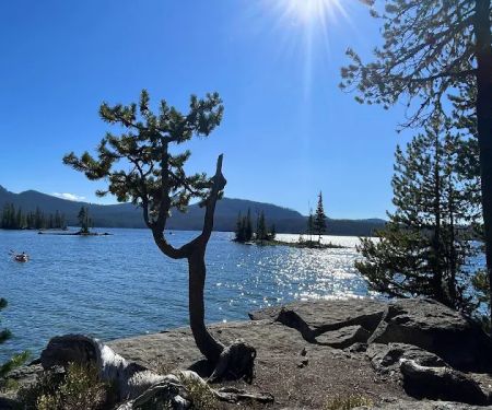
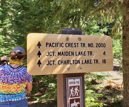
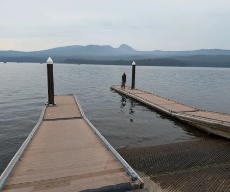
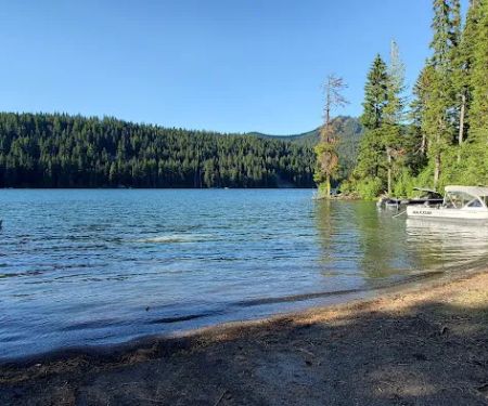
The beauty of the Oregon Cascades.
August 26 · Sergio Sr. C
More Camping Near Me
 Gold Lake Campground4.0 (21 reviews)
NF-5897, Crescent, OR 97733, USA
 Waldo Lake Shadow Bay Willamette NF4.0 (44 reviews)
Crescent, OR 97733, USA
 Pacific Crest Trailhead - Willamette Pass4.0 (28 reviews)
OR-58, Crescent Lake, OR 97733, USA
 Princess Creek Campground4.0 (97 reviews)
63095 Deschutes Market Rd, Bend, OR 97701, USA
 Trapper Creek Campground4.0 (67 reviews)
NF-5810, McCredie Springs, OR 97463, USA
 Hobo Camp3.0 (3 reviews)
HXCH+PM, Crescent Lake, OR 97733, USA
 Islet Campground4.0 (33 reviews)
Oakridge, OR 97463, USA
 Sunset Cove4.0 (14 reviews)
H26P+XG, Crescent Lake, OR 97733, USA
 Harralson Horse Camp4.0 (1 reviews)
Willamette National Forest, OR, USA
 Met-Win dry camp4.0 (1 reviews)
Crescent Lake, OR 97733, USA
 East Davis Lake Campground4.0 (23 reviews)
NF-850, Crescent, OR 97733, USA
 Lava Flow Campground4.0 (19 reviews)
Oregon, USA
Categories
Top Visited Sites
 Sleepy Hollow RV Park4.0 (37 reviews)
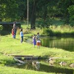 Rocky Springs RV Ranch4.0 (59 reviews)
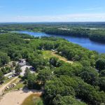 Ross Hill RV Park4.0 (162 reviews)
 Twin Pines Campground4.0 (18 reviews)
 Shafer Campground4.0 (25 reviews)
 Twin Lakes4.0 (510 reviews)
Top Camping Searches
Trending The Campfire Posts
 How to Protect Your Gear from Rain While Camping
 How to Keep Your Campsite Clean and Tidy for a Better Camping Experience
 Tips for Camping with Kids: Making It Fun and Safe for the Whole Family
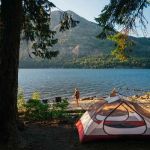 Top 10 Campsites with Amazing Scenic Views – Best Camping Spots in the USA
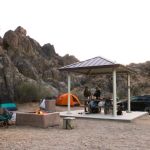 Best Campsites for Rock Climbing Beginners in the U.S.
 How to Use Campfire Heat to Dry Firewood Effectively and Safely